Topographical Survey London
Topographical Survey Cost for Accurate Budget Planning
Get a Free Quote From Us Today!
We aim to get back to you in 24 hours.
At Topographical Survey Cost, we provide clear and structured pricing guidance to help clients understand the cost of land surveying services in Barking IG11 8 and across the UK. Our service At Topographical Survey London, we provide specialist land measurement and mapping services tailored to complex projects across the UK. Our team focuses on identifying structural constraints and recording precise geospatial data to ensure that architectural and engineering teams work with verified site realities.
By establishing a high-fidelity digital foundation, Topographical Survey London ensures that your development remains technically sound while reducing the likelihood of expensive design clashes during the construction or refurbishment phase.
What Services Are Included In Topographical Surveys Across London?
Our topographical survey of London provides access to a comprehensive suite of data collection solutions designed to identify every significant surface feature:
- Precision Site Mapping – Documenting every permanent feature, like buildings, walls, and manhole covers, to provide a complete site overview.
- Level and Elevation Recording – Capturing height data and contours to ensure architects understand the vertical profile of the land.
- Boundary Demarcation – Establishing the legal limits of a property based on physical evidence to prevent encroachment disputes.
- Subsurface Utility Integration – Overlaying underground service information onto surface maps to create a unified dataset for safe excavation.
- 3D Revit Modelling – Producing high-fidelity digital representations to support modern Building Information Modelling (BIM) workflows for construction teams.
Why Should You Choose Professional Topographical Survey Services In London?
Choosing a professional topographical survey in London ensures that your project is built upon a foundation of absolute technical integrity and geospatial accuracy. Our experts use regularly calibrated instrumentation and hold specific indemnity coverages that unvetted providers lack, which minimises the risk of building over boundaries or miscalculating earthwork.
This expert oversight maximises your project's efficiency, providing a clear audit trail and protecting your investment from the financial fallout of mapping errors or planning inaccuracies.
How Much Does A Topographical Survey In London Cost?
The professional fee for a topographical survey in London ranges from £450 to over £5,000, depending on the total acreage and the technical complexity of the built environment.
Pricing is primarily influenced by the time required on-site for data capture and the subsequent office hours needed for computational point cloud registration. Technical drivers such as the density of urban infrastructure, the inclusion of high-resolution 3D Revit models, and the need for specialised laser scanning for historic architecture also impact the final professional fee.
Contact Topographical Survey London to get customised prices for topographical survey london at your property.
Get a Free No Obligation Quotation Today
Where Are Topographical Surveys Required For Projects In London And Surrounding Areas?
Professional mapping provided by Topographical Survey London is required for residential developments, commercial projects, infrastructure works, and urban regeneration schemes. The service is critical for both brownfield sites and high-density urban plots where millimetre-perfect structural alignment is non-negotiable for safety.
By mapping these environments, our process ensures that foundation designs and piling are based on verified levels, protecting the developer from the legal and financial repercussions of mapping errors.
When Should You Carry Out A Topographical Survey In London For Your Project?
You should carry out a topographical survey of London during the early feasibility or planning phase, well before any formal architectural concepts or structural designs are finalised. Early surveying helps identify potential site constraints like protected trees, party wall issues, or steep gradients that could impact your project's total budget.
Taking this proactive step ensures your planning applications are factual, which reduces the risk of rejection and ensures your project stays on a safe and predictable timeline.
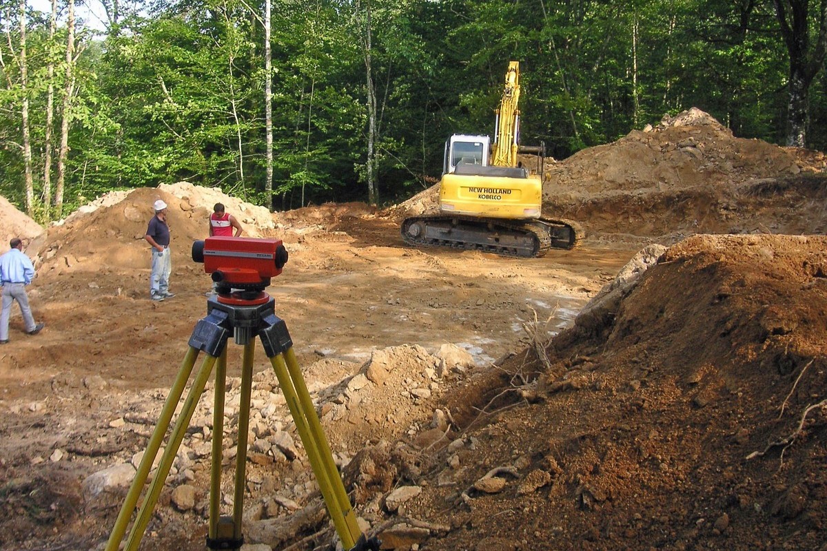
How Does The Topographical Survey Process Work On Sites In London?
The workflow followed by the topographical survey in London involves a sequence of site assessment, precision data capture, and meticulous drafting to guarantee technical integrity. We start by establishing geodetic control points that provide a fixed reference for all measurements across the property relative to the national grid.
This methodology ensures every coordinate is triangulated with absolute accuracy, resulting in a digital output that provides the indisputable evidence your engineering team needs for safe foundation analysis.
What Data, Levels, And Features Are Captured In A Topographical Survey In London?
A thorough investigation by a topographical survey in London ensures the capture of every critical element of the physical landscape to facilitate accurate urban design:
- Ground Levels and Contours – Recording elevation data across the entire site to facilitate accurate drainage and earthwork calculations.
- Buildings and Structures – Mapping the footprints and heights of existing buildings, walls, and other permanent physical features.
- Boundaries and Access Points – Establishing the precise limits of the property and mapping entry routes to coordinate logistics.
- Surface Features and Utilities – Identifying visible manhole covers, services, and site elements that impact subterranean design.
- Natural Vegetation and Trees – Documenting the location, canopy spread, and trunk diameter of trees for environmental compliance.
Request a free quote
What Types of Surveys and Site Conditions Influence Topographical Survey Which Industries And Projects Require Topographical Surveys In London?
A wide variety of sectors rely on Topographical Survey London to provide the foundational geospatial data for their physical investments and infrastructure programmes:
- Architectural Practices – Using detailed plans to ensure new designs fit perfectly within the existing site terrain and neighbouring buildings.
- Civil Engineering Firms – Needing precise elevation data to design safe and compliant highway, rail, and subterranean utility infrastructure.
- Property Development Groups – Requiring accurate site layouts to maximise building density and ensure efficient drainage and access.
- Local Government Authorities – Commissioning surveys for school expansions, park redevelopments, and municipal infrastructure improvement schemes.
- Environmental Consultants – Using terrain data for flood risk assessments and landscape character studies to meet regulatory compliance.
How Quickly Can A Topographical Survey Be Completed On London Sites?
Most site visits for a topographical survey in London can typically be completed within one to three days, depending on the scale and complexity of the urban terrain. Once we have finished the field data capture, the digital processing phase takes an additional forty-eight hours to ensure that every coordinate is verified and drafted.
This efficiency ensures your design cycle is not hindered, providing your team with the high-resolution digital plans required to advance the project without unnecessary administrative delays.
What Accuracy Standards And Regulations Apply To Topographical Surveys In London?
Every inspection conducted by Topographical Survey London follows recognised UK standards, most notably the RICS Professional Statement for land surveys. Adherence to these national standards ensures your survey is legally defensible and provides the millimetre precision required for structural engineering.
Adhering to these codes provides the insurance-backed certainty that developers and lenders demand when they are funding or protecting high-value metropolitan construction investments across the country.
Contact Topographical Survey London for a consultation to get topographical survey london tailored to your organisation’s risks and responsibilities.
speak with our team today
What People are Saying About Us
★★★★★
"Excellent topographical survey service carried out professionally from start to finish. The team worked efficiently on our London site and delivered highly detailed drawings ahead of schedule."
Nathan Cook
London
★★★★★
"Very impressed with the communication and attention to detail throughout the project. The final survey plans were accurate, easy to understand and exactly what our architect required."
Chloe Grant
London
★★★★★
"The surveyors arrived on time, explained the process clearly and completed the work with minimal disruption. The turnaround time on the final CAD drawings was fantastic."
Aaron Hudson
London
★★★★★
"Reliable and professional company with outstanding customer service throughout. The topographical survey was completed smoothly and the quality of the plans exceeded our expectations."
Jessica Turner
London
Our Locations
We are proud to work nationally across the UK, allowing us to ensure we can provide services to you.
For a full list of counties we cover in the UK, see below.